
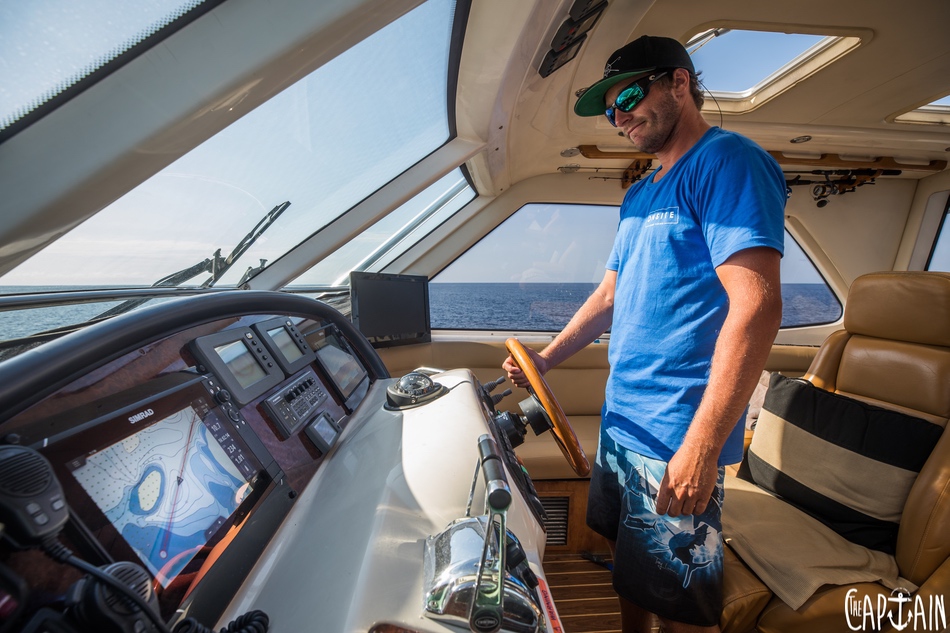
Rod Findlay goes back to basics to explain how to get from A to B on the water.
The radio was alive with reports of action, but it didn’t take long to realise the weekend warriors were out in full swing, “Can I have those numbers again, mate? I have them all bar the last three digits,” came the calls on the radio. This is sadly the new normal for Sydney VHF channel 21 all through winter. Modern GPS chart plotters have bred a new generation of game fishermen (I use that word loosely) so totally dependent on their electronic navigational equipment that basic navigation and the numbers that latitude and longitude (lat and long) represent seems to be completely lost on them.
NOTHING NEW
A quick Google search confirms that the idea of breaking the Earth up into a grid of lines is not a new one. The Phoenicians (600BC) and later the Polynesians (400AD) used the Sun and stars to calculate latitude. Ancient Greek astronomers were the first to specify longitude well before most of the globe had even been properly discovered. In the 1500s, mathematical wizards used stars and clocks, working the time of sunrise back from their original locations to estimate their position to within a few hundred miles.

In some ways, I consider myself lucky to have started my offshore adventuring in the early 1990s, when although GPS was starting to make its way onto private game-fishing fleets, it wasn’t relied on like it is now. Most boats had a GPS, but it would only spit out a lat and long in sporadic intervals, so taking sight bearings off shoreline objects with a handheld compass during your day to confirm your position was the norm. Long story short: you’d pick three objects on land and record the bearings. From those positions, you’d then draw lines out of those objects at the same bearing on a paper chart. Where those lines intersected was your basic position.
REFERENCE POINTS
Understanding the relationship between the numbers your fancy chart plotter spits out and where you are in the world is not hard. Latitude is the number that references your location from the equator. Where the equator is 0’ there is 90’ to the South Pole and 90’ to the North Pole — or Santa’s workshop, if you’re a believer. The S or N is obviously the first reference point to your side of the equator. Longitude is measured in meridians with the 0’ reference point running through Greenwich, England, home of the first truly accurate clock. Given the Earth is round — apologies to any Flat Earthers — there is 360 degrees referenced east and west of the 0’ line.
NO KM AT SEA
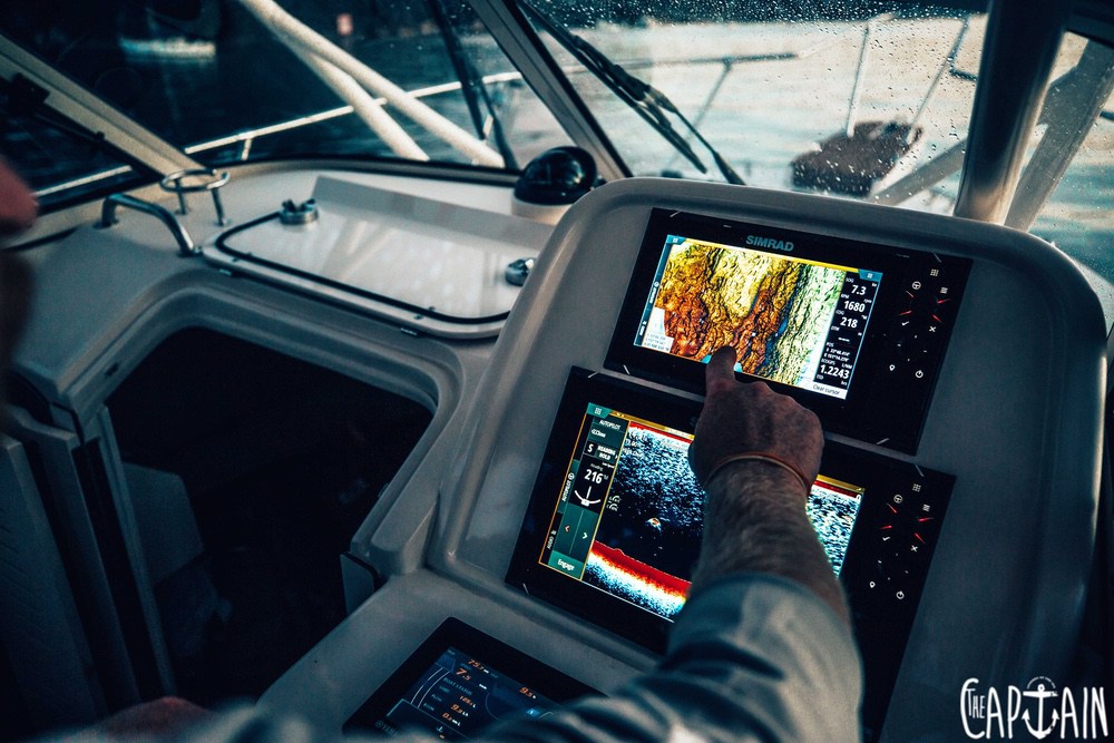
Now the maths homework is out of the way, it’s time to start thinking about how understanding those numbers can improve your fishing. Lats and longs are measured in hours and minutes. Every minute of latitude is equal to one nautical mile, with 60 minutes to the hour, or 60nm before you count up or down and start again. That’s why I reckon working in km and km/h as your unit of measurement when out fishing the open ocean is the first big mistake a new captain can make. If you use nm as your unit of measure and knots (nm/h) you can instantly work out your position from that of your fishing buddies.

If I’m trolling on the shelf at 33’30.000S and another mate sees some action in 33’40.000, I straight away know he is 10nm to my south and that if I pick up and run at 20 knots, I’ll be there in half an hour. If you’re working in km and hear a position called, it’s like working in litres and having to convert to gallons. There’s way too much maths involved. I know you can slide a cursor across on a modern chart plotter and have it do the sums for you, but that’s another level of complication and the numbers are never going to be round and simple.
FORGET THE DECIMAL PLACE
Now for those tricky three digits that are the bane of the new tuna chaser’s life on the radio on any given day. The .000 in the 33’30.000 is just a three-digit fraction of a nm. So, .500 is half a mile, etc. Unless you’re trying to find one of those black-buoyed private FADs in summer, or to find a very specific piece of structure, the last three digits in either latitude or longitude are not really required. After all, the marlin and tuna are moving all the time.
SAME PAGE
For a number of years, my role in Broken Bay Game Fishing Club involved trying to get more boats out fishing and talking. We started private chats and instantly the reports got more and more confusing. For example, we fished today 15 miles S/E of spot X. The hard part is everyone’s mark for spot X is different to some degree — or there is more than one spot X. So we suggested all the chat members drop the reference points and start talking in latitude and depth.

If I put up a post and reported we fished today starting at 33’30 working south in 200fa to 33’40 and found good action late in the day at 33’40 in 100fa, all in the group could navigate the next day and be Johnny on the spot within a mile. This system is easy to understand and everyone in the group benefits. The result when the fishing is hot is that all members can track the bite, everyone catches more — and for that reason, the numbers become a whole lot more fun.
Recent Comments